Image Gallery by location
Images of the built environment and signs of Belfast
Antrim Road
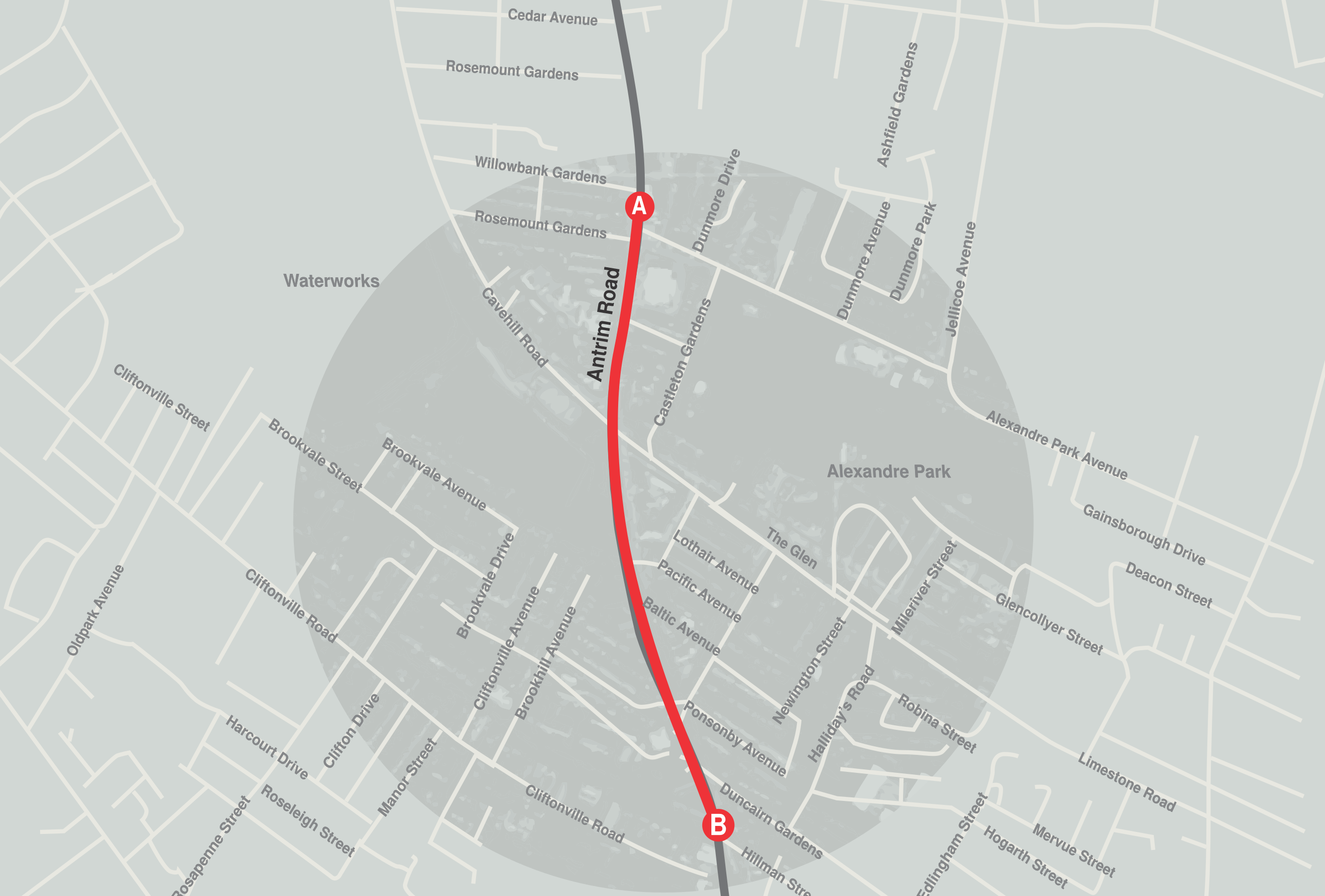
The Antrim Road, originally Duncairn Street, runs from North Belfast to the town of Antrim, approximately 18 miles from Belfast. The road passes through the New Lodge, a working class Catholic district of the city and was originally farmland, developed in the 19th century by the city’s industrialists. The lower end of the road remains largely Catholic, but as the road moves towards Antrim the population becomes mixed. The core architecture and red brick buildings on the section of road examined for this thesis reflect its industrial routes. The long established communities on the Antrim Road display their socio-cultural affiliations through murals on street corners, graffiti and expression of local language on the vernacular signage of place. Colour palettes of both signage and buildings are often socio-cultural indicators of community affiliations with historical, religious and political beliefs.
Antrim Road, Duncairn Gardens, Limestone Road
Falls Road
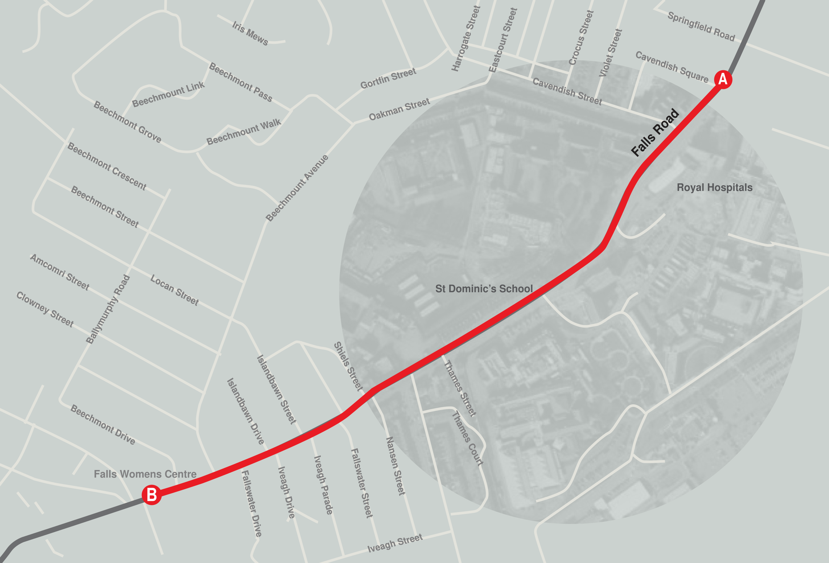
The Falls Road gets its name from the Irish words ‘Tuath-na-bhfal’ district of the falls or hedges. Exclusively Nationalist, it is the main road through West Belfast and runs from Divis Street in the city centre to Andersonstown. One of the more famous streets in the city, it has become in recent times a tourist destination, with tours of what were once troubled places and murals. It is separated from the neighbouring and predominantly Loyalist Shankill Road by peace walls.
Newtownards Road
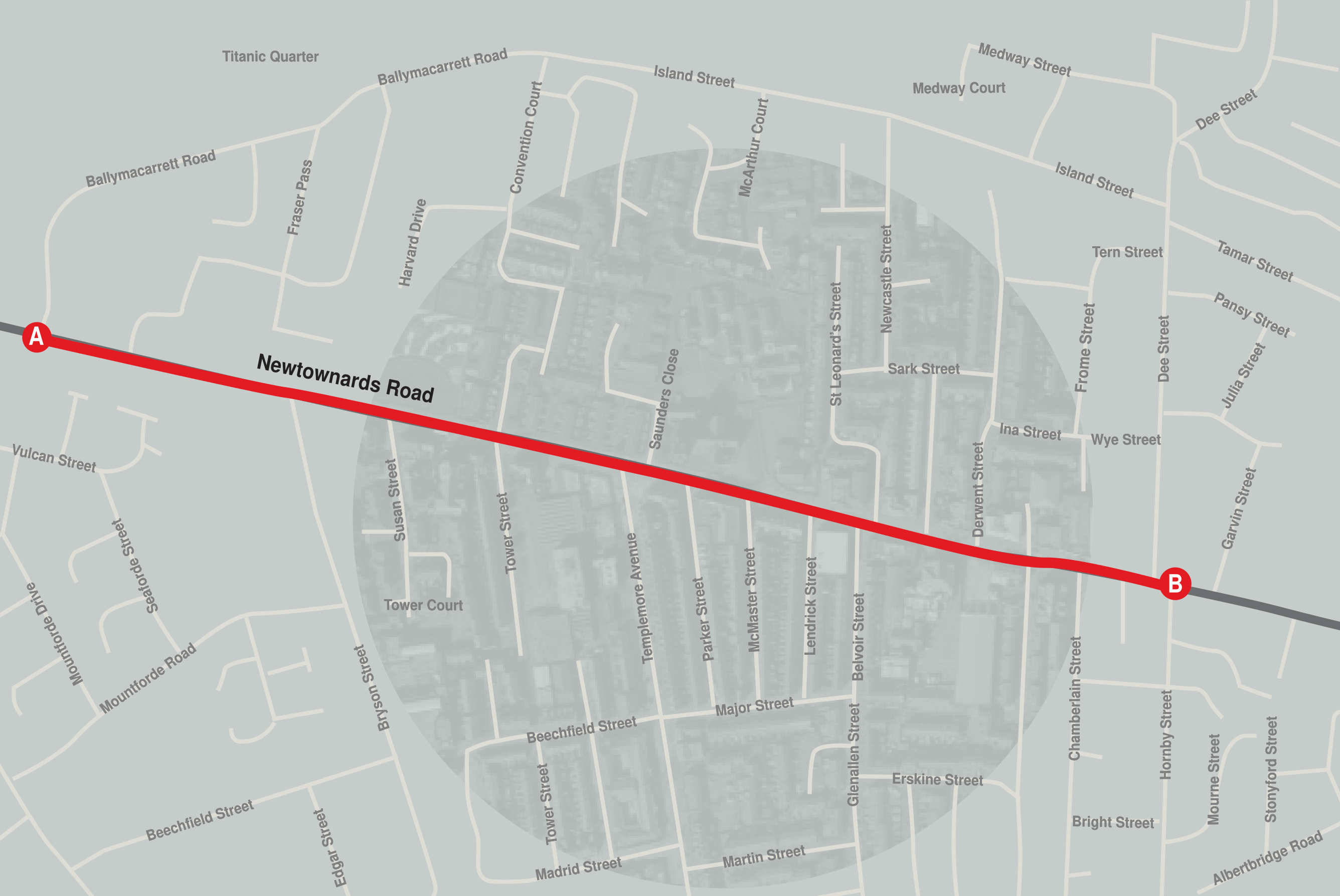
The Newtownards Road, in East Belfast is the main route between the city and town of Newtownards. It is a working-class district with strong employment links to the Harland & Wolff shipyard. The yellow cranes of the shipyard can be seen from many vantage points on the road as a reminder of more lucrative times for the area. Since the shipyard workforce was cut from 23,000 to 14,714, in 1960-61 and further reduced to 7,000 people by the 1980s, both employment figures and the built environment have reflected this economic downturn. The area, in association with its shipbuilding history, remains strongly associated with the ill-fated Titanic, which is remembered through murals and signage.
Initiatives undertaken in the 1960s to improve roads infrastucture, the motorway and ring roads have left this road cut off from the city centre and its thriving economy. The concrete plinths supporting road overpasses have created large pieces of land that cannot be developed, creating a barrier between the road and rest of the city.
ORmeau Road
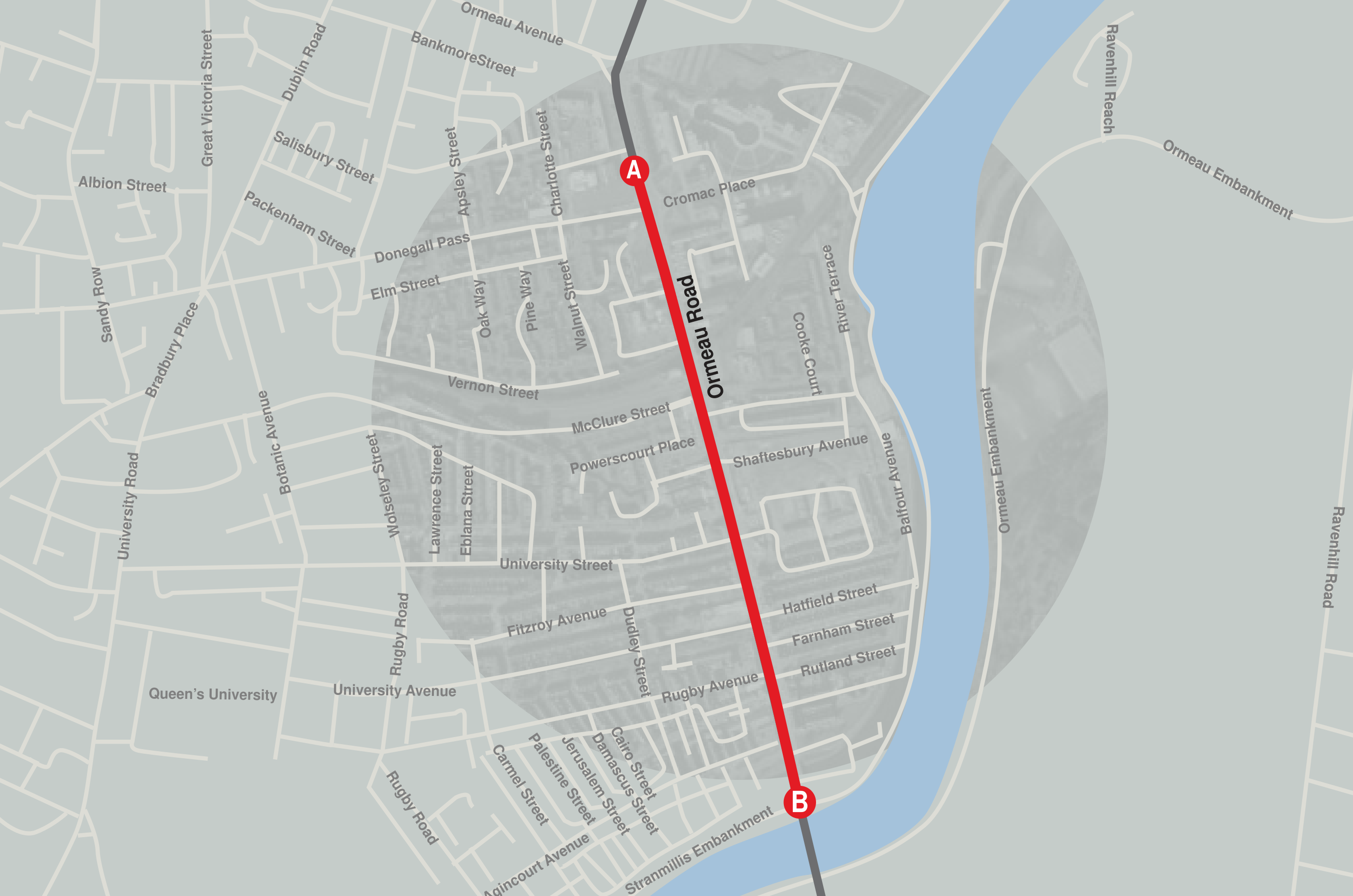
The Ormeau Road, in South Belfast, was historically known as the New Ballynafeigh Road, built in 1815 for the Marquis of Donegall, who had a residence on the road, in order that he might be able to travel with ease to and from the city centre. It took its current name from Ormeau Park. It is the site of a number of historical Victorian buildings, including the Gasworks, built between 1887 and 1883, by some of the
city’s leading industrialists. The area around the Gasworks was traditionally a working-class nationalist area, but the road has become the settling place for many of the city’s migrant communities. The ‘Holyland’ area of the road – with street names like Jerusalem Street, Palestine Street, Damascus Street and Cairo Street – is often home to students from the city's universities. The diversity of residents on the road is reflected in the nature of businesses and signage.
Lisburn Road
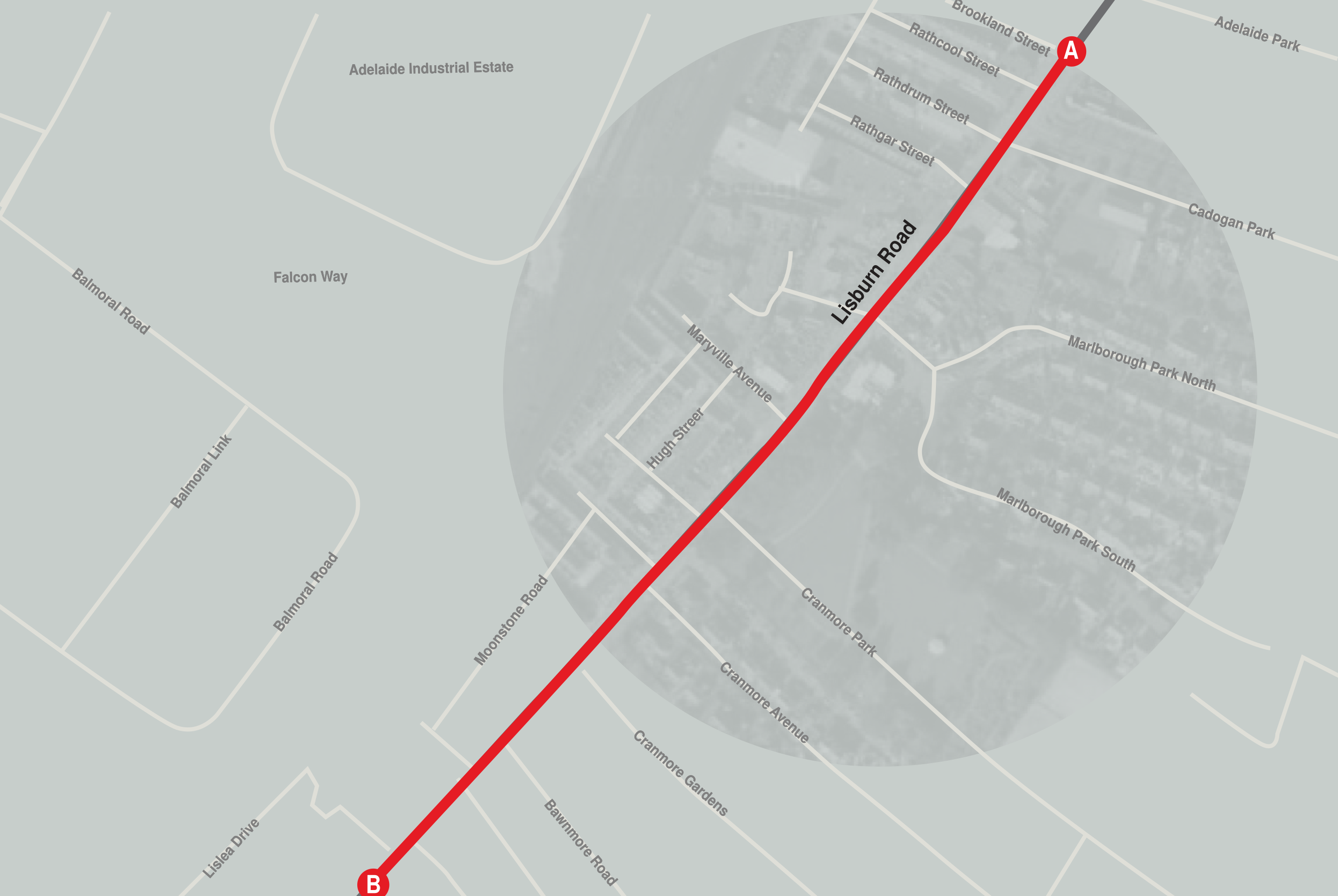
The Lisburn Road is a major arterial route in South Belfast, linking Belfast to Lisburn. The road is an extension of the city’s Golden Mile, the location of much of the city’s night life, bars, coffee shops and restaurants and one of the city’s most exclusive shopping destinations. The sectarian markers so often observed on other routes, painted kerb stones and flagging are, at least on the main road, absent. It is a predominantly middle or upper class area and provides an aspirational address for those wishing to rise in social ranking. It is an affluent area and the location of some of the city’s most luxurious, lucrative and successful commercial enterprises.
Crumlin Road
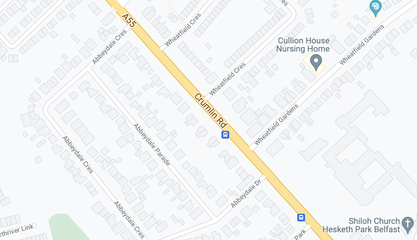
The Crumlin Road is a main road in north-west Belfast. The road runs from north of Belfast City Centre for about four miles to the outskirts of the city. It also forms part of the longer A52 road which leads out of Belfast to the town of Crumlin. The lower section of the road houses a number of historic buildings, including the city's former law courts and prison, whilst the road encompasses several large housing areas, including the Ardoyne, Ballysillan and Ligoniel.
Titanic Quarter
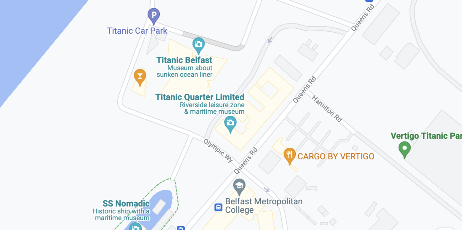
The Titanic Quarter is a waterfront regeneration area comprising historic maritime landmarks, film studios, education facilities, apartments, a riverside entertainment district, and the world's largest Titanic-themed attraction on land in Belfast Harbour, known historically, until 1995, as Queen’s Island. The site was previously occupied by part of the Harland and Wolff shipyard and is named after the Titanic. The area, once the site of industry and a key employment base of the city’s workforce, has, in recent years, become increasingly gentrified and hosts the Titanic Museum as a key tourist attraction for Belfast.
York Street And Shore Road
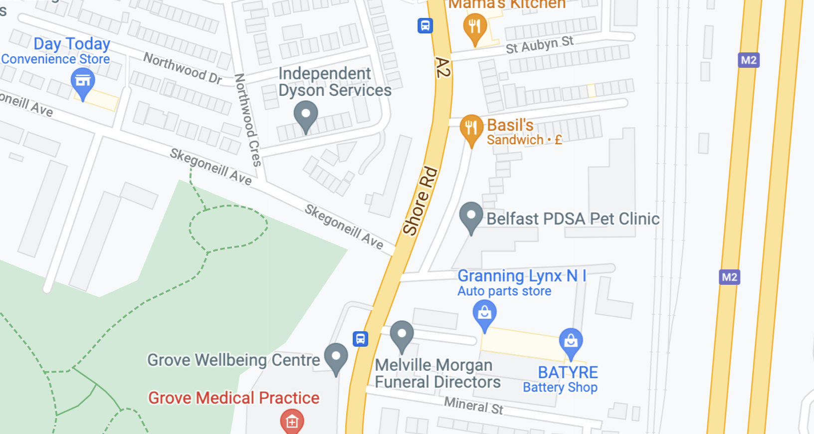
The Shore Road is a major arterial route and area of housing and commerce that runs through north Belfast and Newtownabbey. It forms part of the A2, a traffic route linking Belfast to the County Antrim coast. One of Belfast's oldest roads, it is mentioned in the first census of the city, taken in 1757.
York Street forms a continuation of Belfast’s Shore Road, a major arterial route into Belfast. The street is home to some of the city’s communities and displays the remnants of its industrial past, such as linen mills (e.g. Jennymount), Gallaghers Tobacco factory (now a shopping centre) and a key transport hub at York Street Train Station. Many of the buildings on this street were damaged by The Blitz of 1941. The contemporary layout of the street sees a fracturing of what was once a continual thoroughfare into the city by major roads infrastructure and key junctions as well as significant new development towards the city end of the street.
Northumberland St Peace Wall
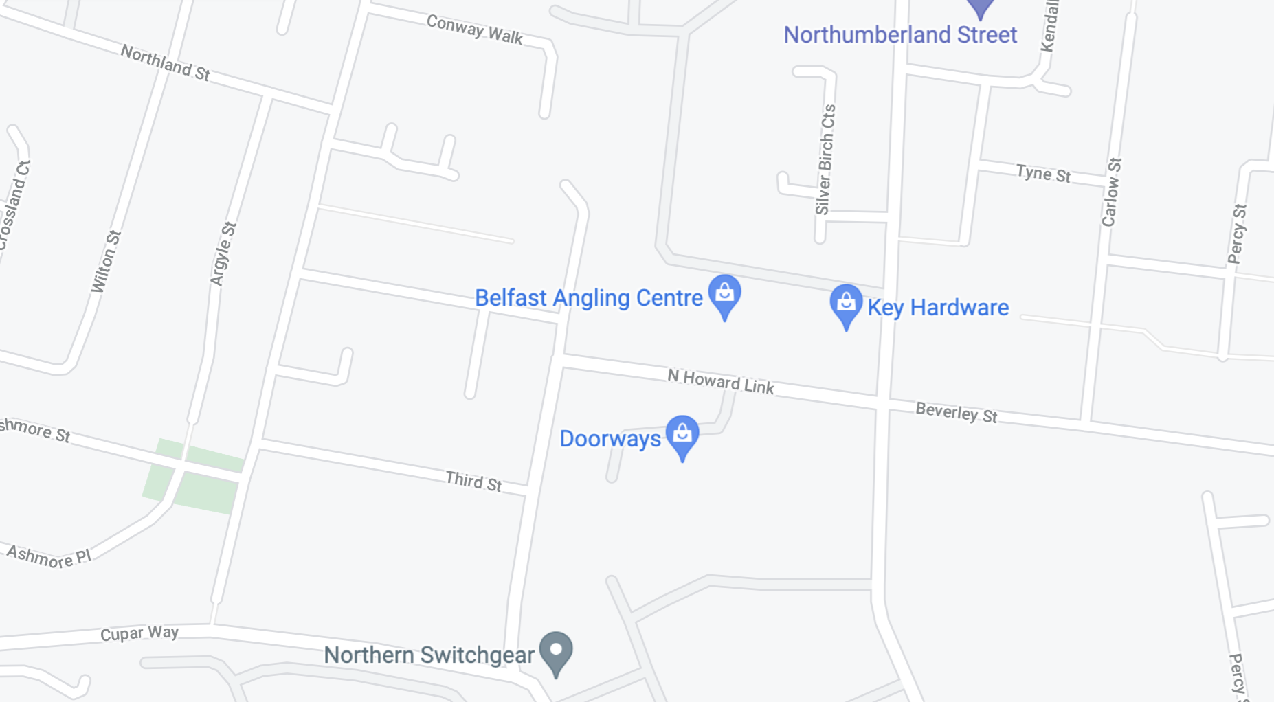
Cluster 5 Inner Ring, Belfast
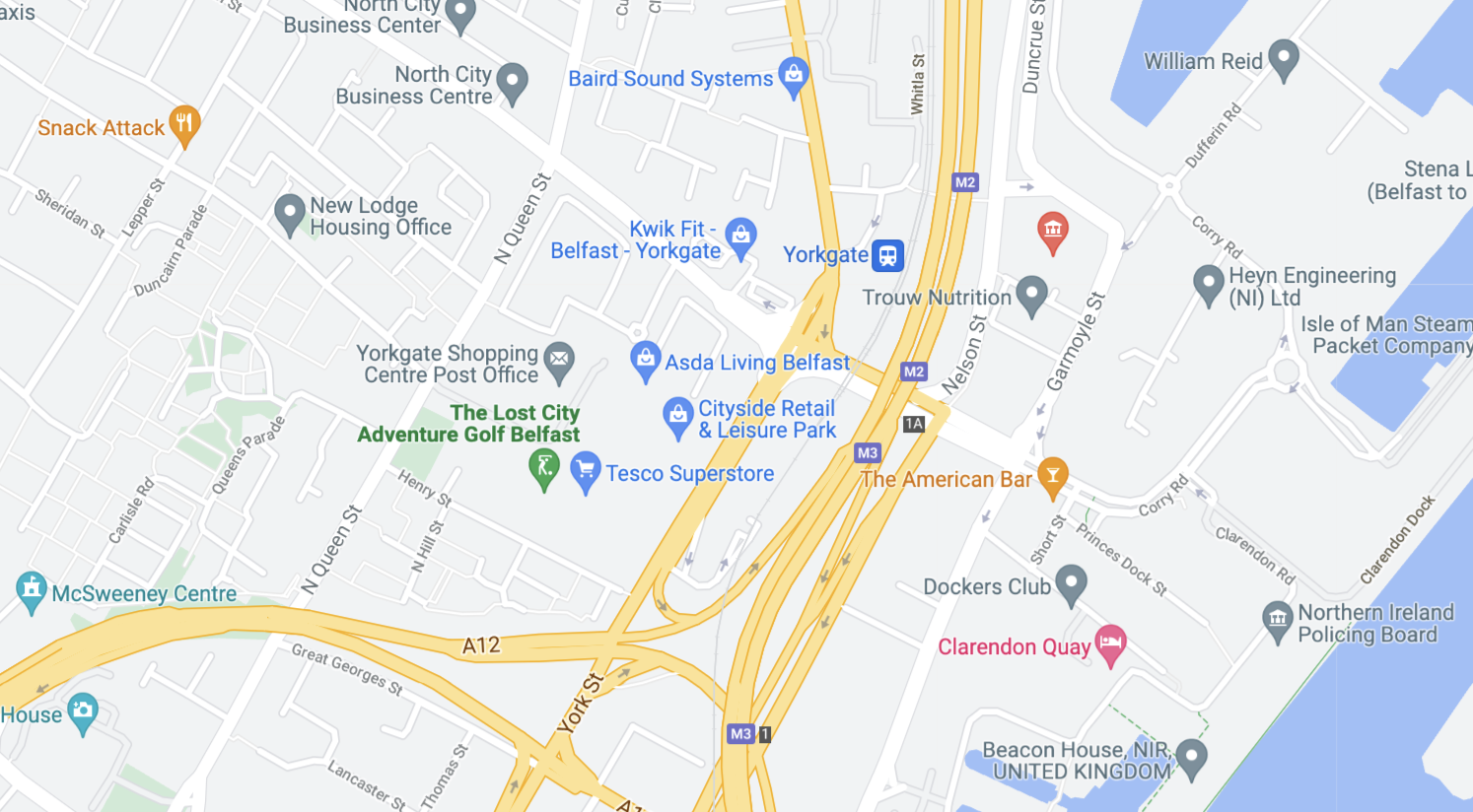
Belfast and Cranes 2018
